


Earth and Environmental Sciences
The focus area Earth and Environmental Sciences at ScaDS.AI Dresden/Leipzig explores the Earth system and its dynamics using Artificial Intelligence (AI) and large-scale data analytics. Our research addresses a wide range of natural phenomena and societal challenges, including climate change and extreme events, natural hazards, ecosystem dynamics, and biodiversity loss.
Modern Earth system research is inherently data-intensive. Most components of the planet — atmosphere, oceans, land surface, cryosphere, and solid Earth — are continuously monitored by satellites, in situ sensor networks, and increasingly through citizen science initiatives. AI methods are essential to cope with the volume, velocity, and heterogeneity of these data and to extract meaningful, actionable insights.
Our work spans local to global scales and integrates observations of air, water, soil, ice, rocks, and living systems. By combining domain knowledge with advanced AI methods, we aim to improve understanding, prediction, and management of Earth system processes under rapid environmental change.
We are an interdisciplinary team of Earth scientists (e.g. geophysics, seismology, geomorphology, physics) and computer scientists, fostering close collaboration across disciplines to address pressing questions about the dynamic Earth.
Research Foci
Climate and Earth System Dynamics
Predicting future climate and associated risks is one of the most urgent scientific challenges of our time. We explore AI-driven approaches, particularly deep learning and probabilistic methods, to improve climate projections and uncertainty quantification.
A key direction is the integration of physical knowledge into machine learning models (e.g. physics-informed neural networks). These hybrid approaches enable more realistic representations of poorly constrained processes, such as cloud formation and cloud–radiation interactions, which remain a major source of uncertainty in climate models. Our work contributes to international efforts toward Digital Twins of the Earth, supporting scenario analysis and climate risk assessment.
Beyond long-term climate change, we study extreme and compound events, where multiple hazards interact across space and time (e.g. wind and rain causing storm surges, or heat waves followed by frost leading to crop failure). Using generative and probabilistic AI methods, we develop advanced “weather generators” that simulate realistic, multivariate weather scenarios, supporting impact studies in agriculture, forestry, hydrology, and beyond.
Terrestrial Ecosystems and Environmental Change
We apply explainable AI to understand and predict changes in terrestrial ecosystems, including forests, grasslands, croplands, alpine environments, and glaciers. Our focus goes beyond prediction alone: each AI-based result is accompanied by attribution or explanation to identify the likely drivers of observed or projected changes.
Applications include the assessment of crop failure, forest dieback, wildfire risk, floods, landslides, debris flows, and glacier dynamics. By combining process-based models with modern AI and big data analytics, we aim to improve ecosystem management strategies and support climate adaptation at regional to local scales.
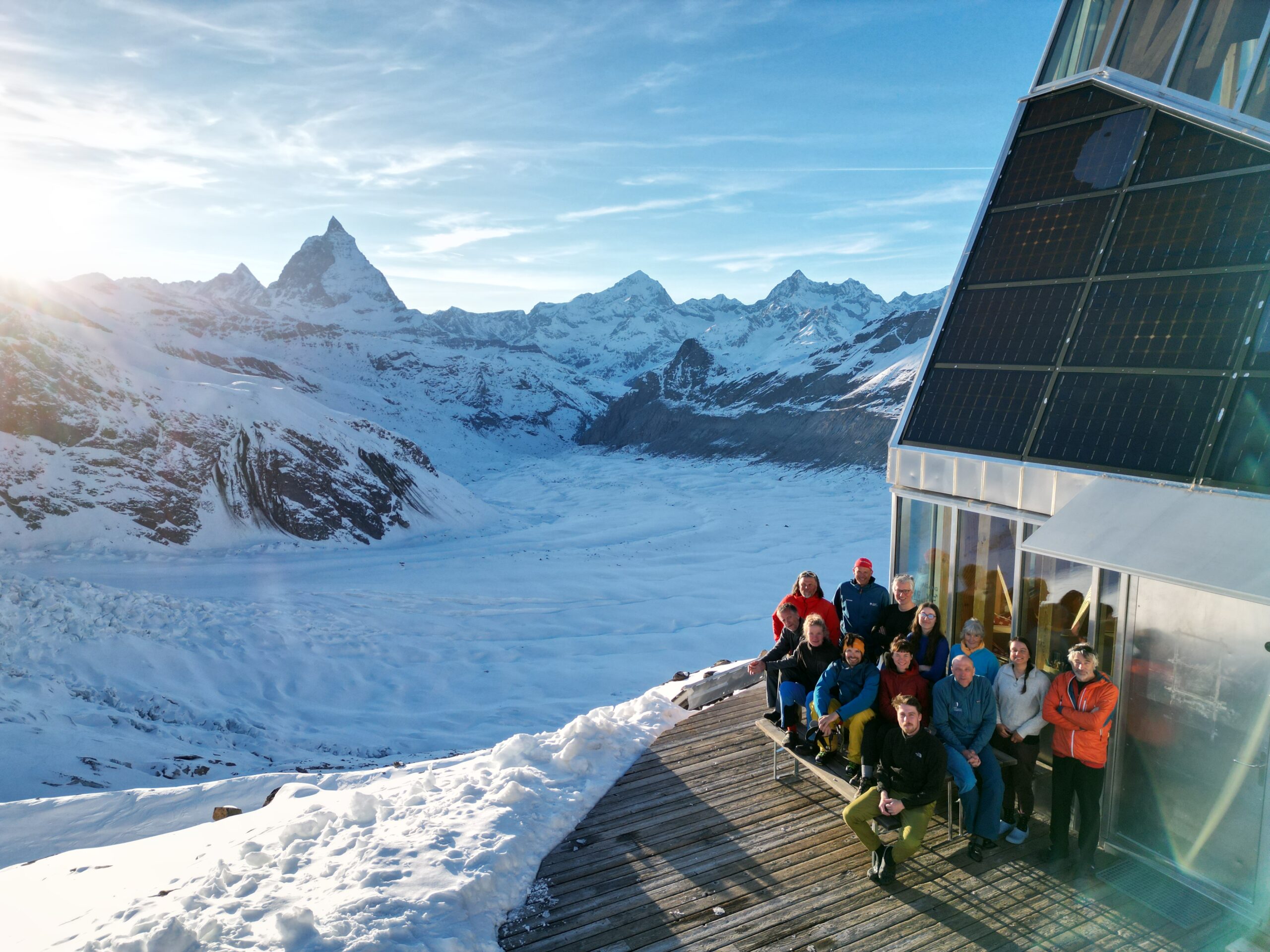
Environmental Seismology
Many physical, chemical, and biological processes affecting the Earth’s surface leave detectable seismic signatures, either as discrete events or continuous background signals. Environmental seismology leverages these signals to study near-surface dynamics with unprecedented resolution.
Our research advances AI-supported seismic analysis to investigate natural hazards and mass movements, particularly in mountainous and cryospheric environments. Using dense seismic arrays and high-resolution time series, we combine signal processing, source localization, physical modeling, and machine learning to better understand Earth surface processes on exploration and monitoring scales. We actively contribute to the growing interdisciplinary community shaping this emerging field.
Earth System Data Cubes
Earth system science relies on highly diverse data sources that differ fundamentally in spatial resolution, temporal sampling, coverage, and measurement principles—from global satellite imagery to dense seismic networks recording thousands of samples per second. These differences hinder interoperability and cross-domain analysis.
We address this challenge through the Earth System Data Cube (ESDC) concept, which harmonizes heterogeneous spatio-temporal data into a common framework defined by longitude, latitude, and time. Data cubes enable scalable data access, visualization, and analysis across disciplines, while preserving links to original observations.
A key challenge lies in combining data cubes with machine learning in a physically meaningful way. Earth system data are unevenly sampled, contain gaps, and exhibit strong spatio-temporal autocorrelation—properties that violate common assumptions of standard ML workflows. We therefore develop:
- Advanced sampling strategies for large-scale data cubes
- ML methods that respect geospatial structure and physical constraints
- Scalable tools for cloud-hosted Earth system data
Our goal is to enable interoperable, robust, and trustworthy AI for Earth system science, bridging methodological innovation with real-world environmental applications.es for Data Cubes and ML tools that can operate on this large cloud-hosted data sets.
Dresden
ScaDS.AI Dresden/Leipzig
Bürogebäude Strehlener Straße
Strehlener Straße 12, 14
01069 Dresden
Zentrum für Informationsdienste und Hochleistungsrechnen
ScaDS.AI Dresden/Leipzig
01062 Dresden
Leipzig
Löhrs Carré
Humboldtstraße 25, Uferstr. 11
04105 Leipzig
Data Science Center ScaDS.AI Leipzig
Internes Postfach: 322001
04081 Leipzig
Quicklinks:
Copyright 2026 © SCADS.AI Dresden/Leipzig – All rights reserved.