
Inferring Standing Deadwood from Satellites
Title: Inferring Standing Deadwood from Satellites
Research Area: Remote Sensing in Geo- and Ecosystem Research, Earth and Environmental Sciences
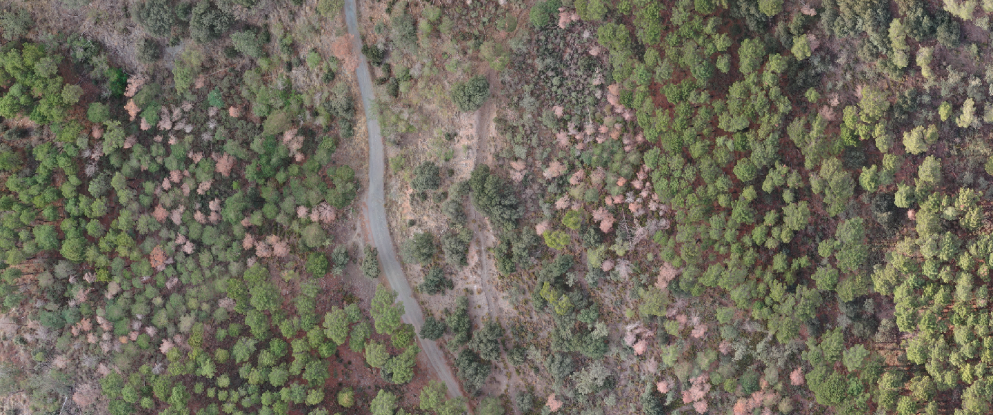
Forests are suffering and we observe tree die-off in a variety of regions in the world. Understanding the diverse causes of tree mortality requires exact information about which trees are dying and where. In parallel, satellites have become an invaluable to tool to measure the world’s ecosystems. The PhD project aims to leverage satellite data to improve our understanding on tree mortality.
Aims
The project “Inferring Standing Deadwood from Satellites” aims to develop a general model to quantify and locate standing deadwood in a variety of tree ecosystems using multi-spectral satellite data.
Problem
Satellite data presents multiple challenges such as coarse spatial and temporal resolution depending while tree mortality often happens on a much finer scale.
Technology
- Deep Learning, Transformers
- Hyperspectral imagery
Team
Lead
- Clemens Mosig
Team Members
- Miguel Mahecha
- Teja Kattenborn

Dresden
ScaDS.AI Dresden/Leipzig
Bürogebäude Strehlener Straße
Strehlener Straße 12, 14
01069 Dresden
Zentrum für Informationsdienste und Hochleistungsrechnen
ScaDS.AI Dresden/Leipzig
01062 Dresden
Leipzig
Löhrs Carré
Humboldtstraße 25, Uferstr. 11
04105 Leipzig
Data Science Center ScaDS.AI Leipzig
Internes Postfach: 322001
04081 Leipzig
Quicklinks:
Copyright 2026 © SCADS.AI Dresden/Leipzig – All rights reserved.